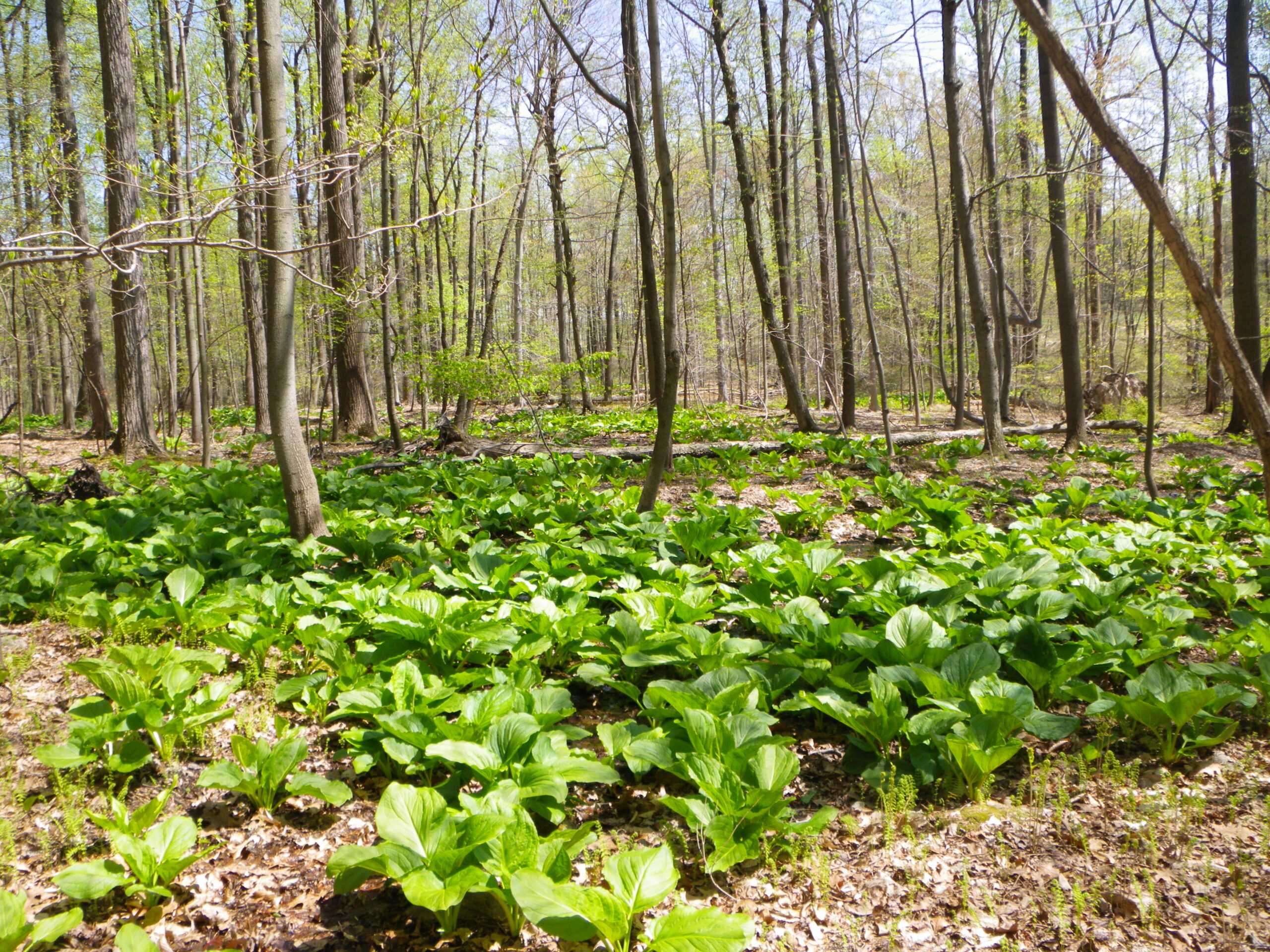
Many state and local jurisdictions require development projects to conduct tree and forest assessments on their sites to promote the conservation of forested land. Various studies and plans—including forest stand delineations, forest conservation plans and planting or mitigation plans—may be required during the plan review process before securing authorization of grading and/or site plans.
Tree and Forest Assessment and Conservation

Meeting Requirements for Conservation of Forested Land
Many state and local jurisdictions require development projects to conduct tree and forest assessments on their sites to promote the conservation of forested land. Various studies and plans—including forest stand delineations, forest conservation plans and planting or mitigation plans—may be required during the plan review process before securing authorization of grading and/or site plans.
Why ECS for tree and forest assessment and conservation services

Requirements differ according to region; however, ECS can guide you through the process of effectively addressing these requirements to keep projects on track.
Some ECS tree and forest assessment and conservation projects include:
- Maryland Guidelines and Requirements
- Solar farms, Dorchester and Prince George Counties, MD
- Self-storage facility, Prince William County, VA
Effective and compliant forest conservation for development projects calls for a three-tiered approach.
Step 1: Assessing environmental factors
A forest stand delineation (FSD) or existing vegetation map (EVM) is the first step in providing an inventory of existing conditions at a site so that potential impacts to forest cover, habitat and other environmental factors may be assessed.
The FSD/EVM is typically prepared and submitted to the local city or county authority at the earliest stages of a project to guide site-plan development. Understanding what resources are present and protected under local municipal regulations enables project designers to avoid project delays.
Step 2: Forest conservation planning development
Forest conservation plans (FCP) or tree preservation plans (TPP) follow completion and authorization of the FSD to describe the proposed steps to protect the resources identified during the FSD. Resources that require protection vary based on the region and regulations, but can include wetlands, high-priority or exceptional-value forests, waterways, steep slopes or habitats for endangered species.
The FCP/TPP provides information on the proposed project layout and development plan and correlates those design elements to the proposed protective measures to meet local regulatory requirements.
Step 3: Mitigation planning
The final step is typically a mitigation plan for projects that impact forest resources where the regulations require mitigation. Mitigation approaches can vary but may include afforestation, reforestation or planting trees where not previously present. Alternatively, impacted forest areas can be replanted elsewhere to compensate for the project’s proposed impacts.
ECS personnel work with site designers to provide practical and cost-effective mitigation strategies as needed, including assisting with planting plans that match the context and aesthetic of the project.
Why ECS for tree and forest assessment and conservation services
Requirements differ according to region; however, ECS can guide you through the process of effectively addressing these requirements to keep projects on track.
Some ECS tree and forest assessment and conservation projects include:
- Maryland Guidelines and Requirements
- Solar farms, Dorchester and Prince George Counties, MD
- Self-storage facility, Prince William County, VA
Effective and compliant forest conservation for development projects calls for a three-tiered approach.
Step 1: Assessing environmental factors
A forest stand delineation (FSD) or existing vegetation map (EVM) is the first step in providing an inventory of existing conditions at a site so that potential impacts to forest cover, habitat and other environmental factors may be assessed.
The FSD/EVM is typically prepared and submitted to the local city or county authority at the earliest stages of a project to guide site-plan development. Understanding what resources are present and protected under local municipal regulations enables project designers to avoid project delays.
Step 2: Forest conservation planning development
Forest conservation plans (FCP) or tree preservation plans (TPP) follow completion and authorization of the FSD to describe the proposed steps to protect the resources identified during the FSD. Resources that require protection vary based on the region and regulations, but can include wetlands, high-priority or exceptional-value forests, waterways, steep slopes or habitats for endangered species.
The FCP/TPP provides information on the proposed project layout and development plan and correlates those design elements to the proposed protective measures to meet local regulatory requirements.
Step 3: Mitigation planning
The final step is typically a mitigation plan for projects that impact forest resources where the regulations require mitigation. Mitigation approaches can vary but may include afforestation, reforestation or planting trees where not previously present. Alternatively, impacted forest areas can be replanted elsewhere to compensate for the project’s proposed impacts.
ECS personnel work with site designers to provide practical and cost-effective mitigation strategies as needed, including assisting with planting plans that match the context and aesthetic of the project.
ECS is ready to help you restore forest health and vitality which has been compromised by past management abuses.
ECS is ready to help you restore forest health and vitality which has been compromised by past management abuses.