A BLOG POST BY ECS’ NATURAL RESOURCES TEAM
Wetland Assessment and Delineation: What, How and Why
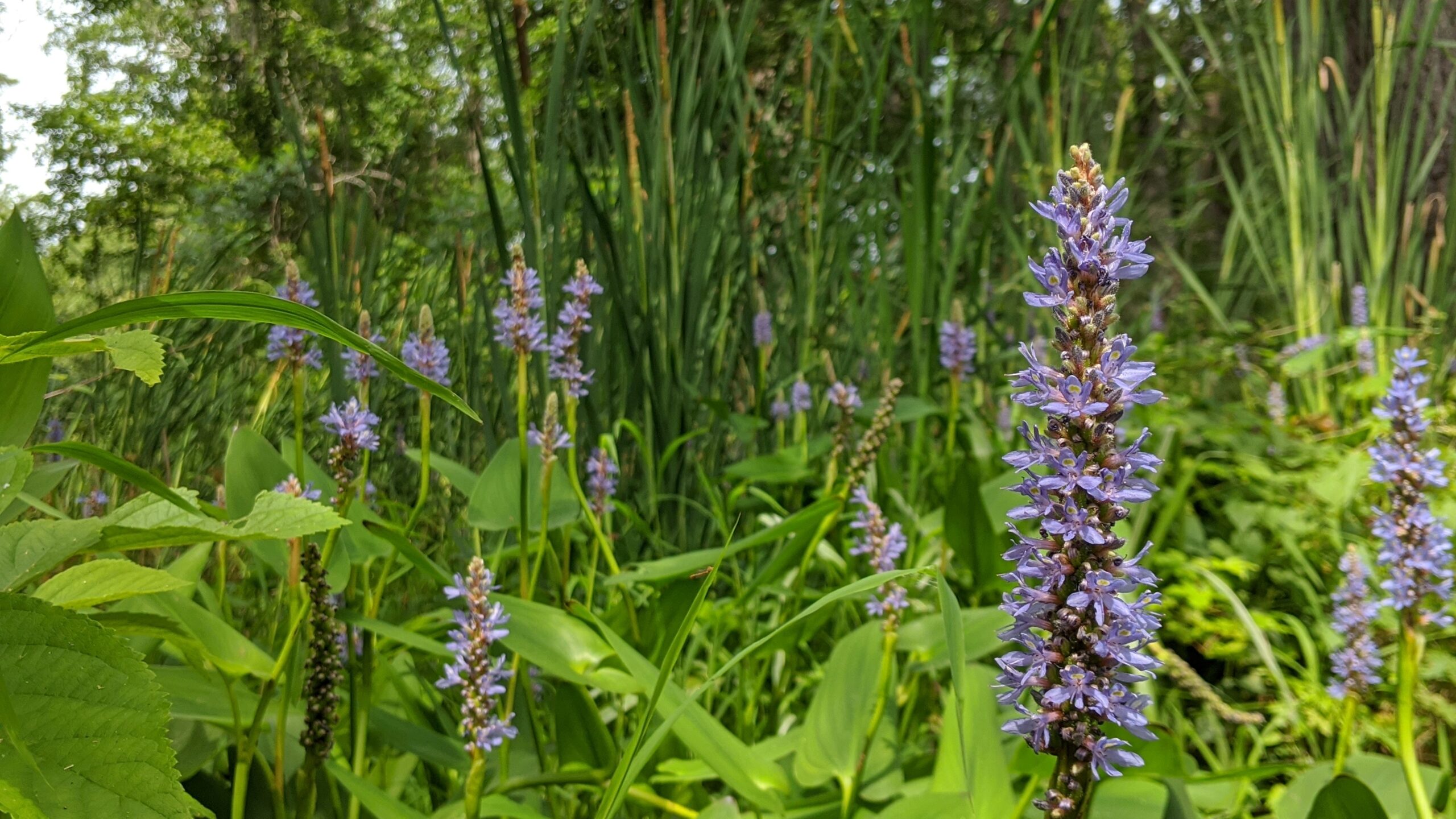
Learn more about what constitutes a wetland, three crucial components of wetland identification and how ECS conducts wetland assessments… Read More

Determining whether regulated wetland or stream features are present within a property boundary is important prior to site planning for a construction project. Conducting a wetland assessment can save time and money, provides important information to consider during site planning and can help avoid delays resulting from unintended impacts.
Determining whether regulated wetland or stream features are present within a property boundary is important prior to site planning for a construction project. Conducting a wetland assessment can save time and money, provides important information to consider during site planning and can help avoid delays resulting from unintended impacts.
Compliance with state and federal regulations may significantly impact the feasibility, economics and schedule of a new or existing project. ECS offers wetland assessments and delineations to keep clients’ projects in compliance with applicable state and federal regulations while also evaluating the environmental impact of a proposed construction site plan.
Extensive training and experience are required to accurately detect and identify the extent of wetlands and other regulated surface waters. Our experienced wetland scientists maintain up-to-date regulatory knowledge to efficiently assess a site for wetlands and regulated surface waters. Our team can utilize unmanned aircraft systems to preliminarily assess the topography of project sites to help understand the likely presence of wetland and stream features in difficult-to-reach areas.

Learn more about what constitutes a wetland, three crucial components of wetland identification and how ECS conducts wetland assessments… Read More
Learn more about what constitutes a wetland, three crucial components of wetland identification and how ECS conducts wetland assessments… Read More
ECS is here to support you every step of the way, from detecting and identifying wetlands to delineating boundaries and securing compliance for applicable regulations.
ECS is here to support you every step of the way, from detecting and identifying wetlands to delineating boundaries and securing compliance for applicable regulations.